Welcome to the new School Travel Health Check Data Portal for . Produced by spatial analysis of ...
Welcome to the new School Travel Health Check (STHC) Data Portal for . It contains data produced by spatial analysis of pupil usual mode of travel and pupil-level school census data provided by schools and County Council. The purpose of the STHC is to:-
Quantify and show how your pupils currently travel to school, and from where.
Quantify the impact this has on your pupils and the environment.
Show how your school compares to all the other schools in the authority and the authority average.
Monitor the situation over time (the analysis is repeated each year).
Provide some questions and thoughts along with the facts to support an informed debate within your school community around the bigger issues of active and sustainable travel choices, child health etc., and help you set targets for change.
For example our analysis shows that million kilometres were collectively driven by car on the “school run” in in ,with tonnes of CO2 emitted in the process!. % of this is from pupils that live within a reasonable walk distance of the school.
Further information about this portal can be obtained by clicking the button to the right or from the "About" menu at the top of the page. We hope you enjoy using the portal and welcome any feedback on it.
Notes:-
Analysis Modules - The STHC analysis results are arranged into different modules in this portal according to the specific purpose and nature of the analysis (though there may be some overlap between them in terms of the data reported). Additional modules may be added over time but the current ones briefly are as follows:-
Pupil Travel Distance & Mode - The foundation of the STHC output since its' beginning, this module quantifies how far pupils travel to school, by what mode and the carbon & calorie footprints of the journeys (if pupil usual mode of travel data has been supplied by the school).
Road Traffic Accident (STATS 19) Data Analysis - This module shows details of all the reported personal injury road accidents that have taken place in the local authority area on public roads recorded through the STATS19 accident reporting system used by the police.
Proximity & Pupil Choice Analysis - This module quantifies the proximity of schools to their pupils, pupils to their nearest schools, and schools to each other. From this are derived current pupil choice by distance ranking, "doorstep leakage" of pupils to schools that are not the nearest one (& the extra "child miles" this involves) and the numerical and geodemographic impact on roles if all pupils attended their nearest school.
Note: Proximity & Pupil Choice Analysis results are only available for schools selected by the local authority.
The STHC shows that, even in the absence of Pupil Usual Mode of Travel data, meaningful pupil-level results can still be derived from spatial analysis of core National School Census data and other publicly available datasets. That said, this portal makes the case for collecting Pupil Usual Mode of Travel data self-evident when viewers see how much more useful it makes the analysis results to them.
Reporting Levels of Results - Each page in this portal contains analysis results reported at 1 of 3 possible aggregate levels:-
Individual School - All results for a school are reported in the same place. The school is selected from the drop-down list at the top of the page and the contents - bar charts, line charts, tables & maps - will update accordingly. You can only view one school at a time, but there is nothing to stop users opening up the pages in another browser window so schools could be compared side by side.
All-Schools - Key results for all individual schools in the authority are reported side-by-side, enabling direct comparison between them. These are presented as interactive tables or a Geostatistical Atlas of maps, charts & tables that can be ranked from highest to lowest for a variety of criteria so you can see how a given school compares to the others.
Whole Authority (LA) - Results of all individual school are aggregated together to give a "whole authority" figure.
Pages are also organised by the number of years of analysis results they contain:-
Latest Year -The most recent year of results only.
All Years - Results for all the years we have undertaken the STHC analysis for the authority. Note the interactive maps pages are only available for the latest year.
Log-in Requirements - It is the aim of the STHC to make our analysis results as accessible as possible to all stakeholders. However as pupil-level data is involved we need to balance availability with data protection issues, such as ensuring anonymity. To that end most of the content is freely available to all users, but the map pages will require users to log-in to see them rendered with individual pupil icons (otherwise they are shown as a "hot-spot" style map). Log-n account details have been provided to your school in the STHC pack that was sent out in October 2014. Please contact us if you have require any assistance to log-in.
Browser Compatibility - The dynamic features of this portal - the maps and charts and some formatting elements - will only be displayed properly if your internet browser is HTML5 compatible. This shouldn't be a problem for most users but (as usual) the main issues are with Internet Explorer. Alas there is no way round this, apart from to change your browser.
'Fluid' Page Layout - The page design is "fluid", which means things will move about depending on a combination of screen size, browser window width and browser zoom settings. By using a fluid design the content can be seen more easily in mobile devices such as smart phones and tablets, which have smaller screens than computers. Users should experiment to optimise the view for their set-up.
Browser Compatibility - The dynamic features of this portal - the maps and charts and some formatting elements - will only be displayed properly if your internet browser is HTML5 compatible. This shouldn't be a problem for most users but (as usual) the main issues are with Internet Explorer. Alas there is no way round this, apart from to change your browser.
Incorporated Free Web-Services - The portal incorporates free web-services provided by external providers such as Google Maps and GoogleCharts as integral components. These provide a great free technical resource that greatly enhance visualisation of the data at no extra cost to users - what better tool is there for visualising a journey than actually viewing it in StreetView within the Google Maps window? However it means that the users' device must have an active internet connection in order for the portal to work properly (although their is no problem with the HTML page files themselves sitting on the device). Also these external web-services are not within our control and so we ask users to please be patient as some pages, or some elements within a page, may take noticeably longer to load at peak Internet usage times.
Just a reminder that since the STHC service began it has been purchased by nearly 30 local authorities and we have processed over 3.3 million pupil school census records from over 4,700 separate UK schools - some 22% of the LEA controlled schools in England! With the price determined by a transparent pricing formula and at an average cost of just £0.16 per pupil for Standard Processing and School Packs, we think the STHC Service represents outstanding value for money.
Navigation Tips: To view the data in the different STHC Analysis Modules, use the link buttons below the slide shows (and at the bottom of all pages), or the "Distance & Mode" or "Accident" menus on the top of the page. These links will take you to pages where the results of our analysis are presented as a combination of bar charts, line charts, tables and maps, most of which are interactive.
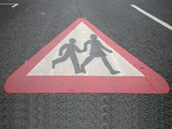
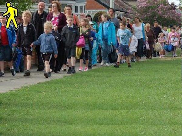
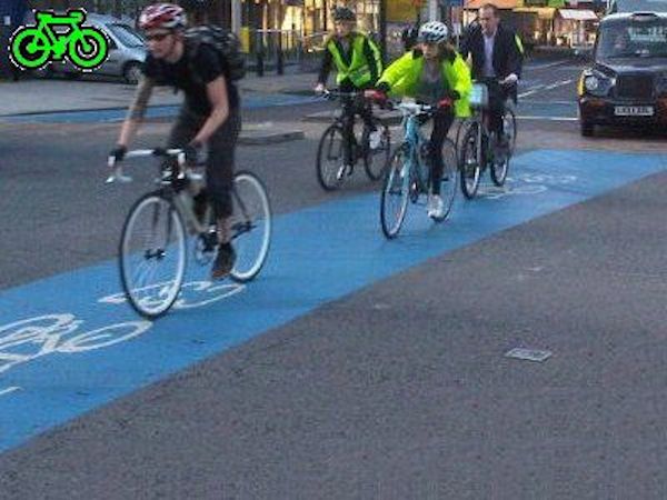
Pupil Travel Distance & Mode Analysis
On every single journey to or from school in ...
... pupils travel an average distance of km, cover a total of km, and burn calories or emit kg CO2 in the process.
... pupils walk an average distance of km, cover a total of km, and burn calories in the process.
... pupils cycle an average distance of km, cover a total of km, and burn calories in the process.
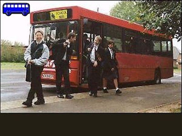
... pupils travel by dedicated school bus an average distance of km, cover a total of km, and emit kg CO2 in the process.
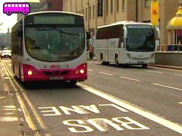
... pupils travel by public service bus an average distance of km, cover a total of km, and emit kg CO2 in the process.
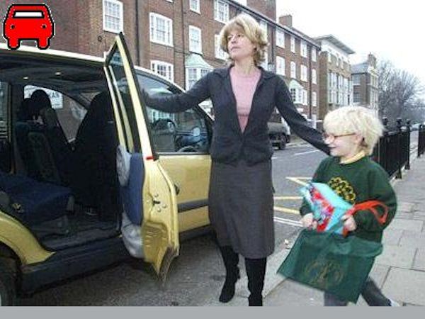
... pupils are driven by car an average distance of km, cover a total of km, and emit kg CO2 in the process.
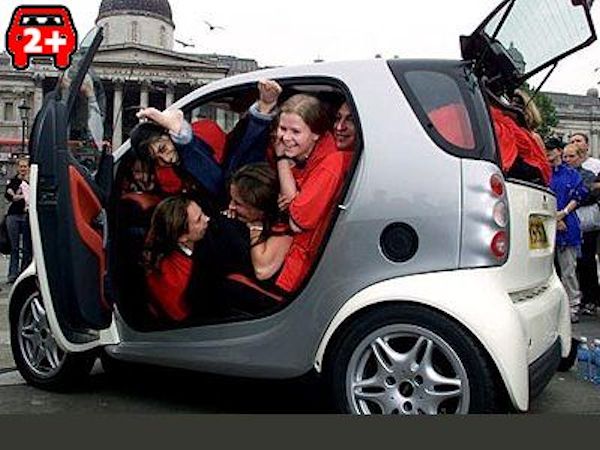
... pupils car share an average distance of km, cover a total of km, and emit kg CO2 in the process.
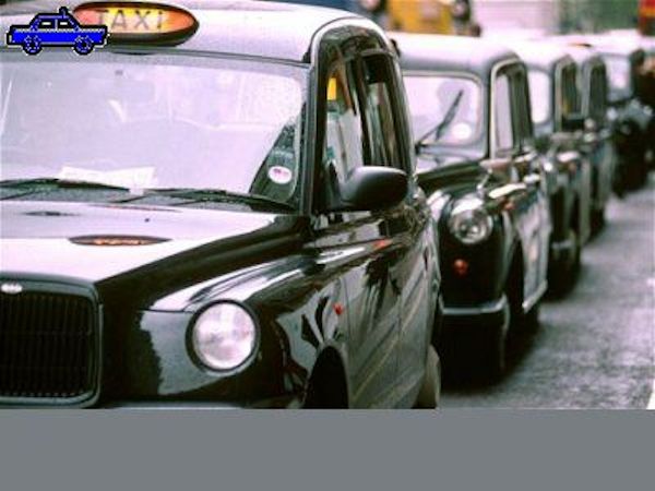
... pupils are driven by taxi an average distance of km, covering a total of km, and emit kg CO2 in the process.
This analysis module contains the current standard STHC output quantifying how far pupils travel to school...
This analysis module contains the current standard STHC output quantifying how far pupils travel to school and the carbon & calorie footprints of the journeys. Results are broken down by Pupil Usual Mode of Travel if this data has been provided to us by the client. If no PUMoT data is available then the mode for all pupils is recorded as "Unknown". We can still calculate Travel Distances but obviously it will not be possible to break down results by travel mode, or calculate the carbon & calorie footprints of the journeys.
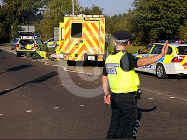
...view road traffic accident data (STATS19) near to school locations.
...interactive filters and graphs to summarize data up to 4.8km.
This analysis module quantifies the officially reported road traffic accidents within 4.8 km of schools....
This analysis module quantifies the officially reported road traffic accidents within 4.8 km of schools. Accidents all involve casualties and have been recorded via the official police STATS19 reporting system, with nationally available data going back to 2005.
Although there is no direct link between an accident and a specific school recorded in the STATS19 dataset, there are some data fields that, taken together, provide evidence that the accident is at least of relevance to school travel:-
child involvement via the age of a casualty (which may be a driver of a vehicle, a passenger or a pedestrian).
time of day and day of the week at which the accident occurred (eg. did it occur during usual school travel times?).
purpose of the vehicles journey (commuting to/from work, for work, taking pupil to/from school or Other/Not known).
location of accident and therefore its distance from a given school (as measured by our spatial analysis).
However rather than only provide data about the accidents that may be relevant to school travel, we provide all the available STATS19 data within 4.8 km of the school and give users the tools to query and filter it themselves in a data interrogator.

 STHC Pupil Travel Distance & Mode Analysis